

Walking, Wheeling & Cycling | GREEN CONNECTIONS
Building a safer Inverclyde for pedestrians, cyclists and wheelchair users!
We would like to hear your views on how the wheeling, walking and cycling connections in and around Inverclyde could be improved, making it easier and safer for people of all ages and abilities, to access local resources.
Your ideas will help Inverclyde Council, consultants Atkins & charity Sustrans to design a safer and more pleasant environment for those who live, work and travel around Inverclyde. The Sustrans Places for Everyone fund can improve infrastructure to make it easier to wheel, walk and cycle.
3,648 of you have taken part so far, thank you!

Accessibility Review - West Blackhall Street
Inverclyde Council has been successful in securing funding from the Scottish Government to improve the civic realm West Blackhall Street. The charity Sustrans who administer the Places for Everyone funding have asked for additional community engagement regarding the design of the separation between the footway and the cycle track.
Please let us know what you think by filling this survey in the link below. Work is planned to continue until March 2025. It is vital that the new street will be accessible to all protected groups, such as those with limited mobility.
Survey link: bit.ly/westblackhall
Video detailing the project: bit.ly/wbhvid
Prioritisation map: Click here for Inverclyde Overview
View The Plans
Detailed designs of the West Blackhall Street plans can be found by clicking the button below.
For any other information, please contact finlay.craig@yourvoice.org.uk.
We work directly with Sustrans, Atkins and the Inverclyde Council, so any questions, ideas or experiences raised with us will be fed directly to and from them. If you leave contact information, Finlay will get back in touch with feedback from these partner organisations.
View the plans here

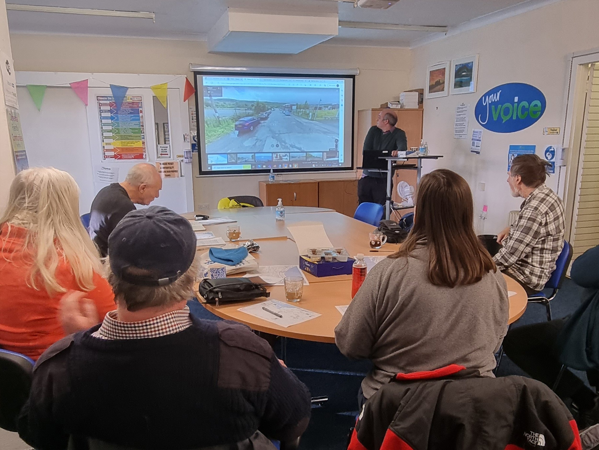
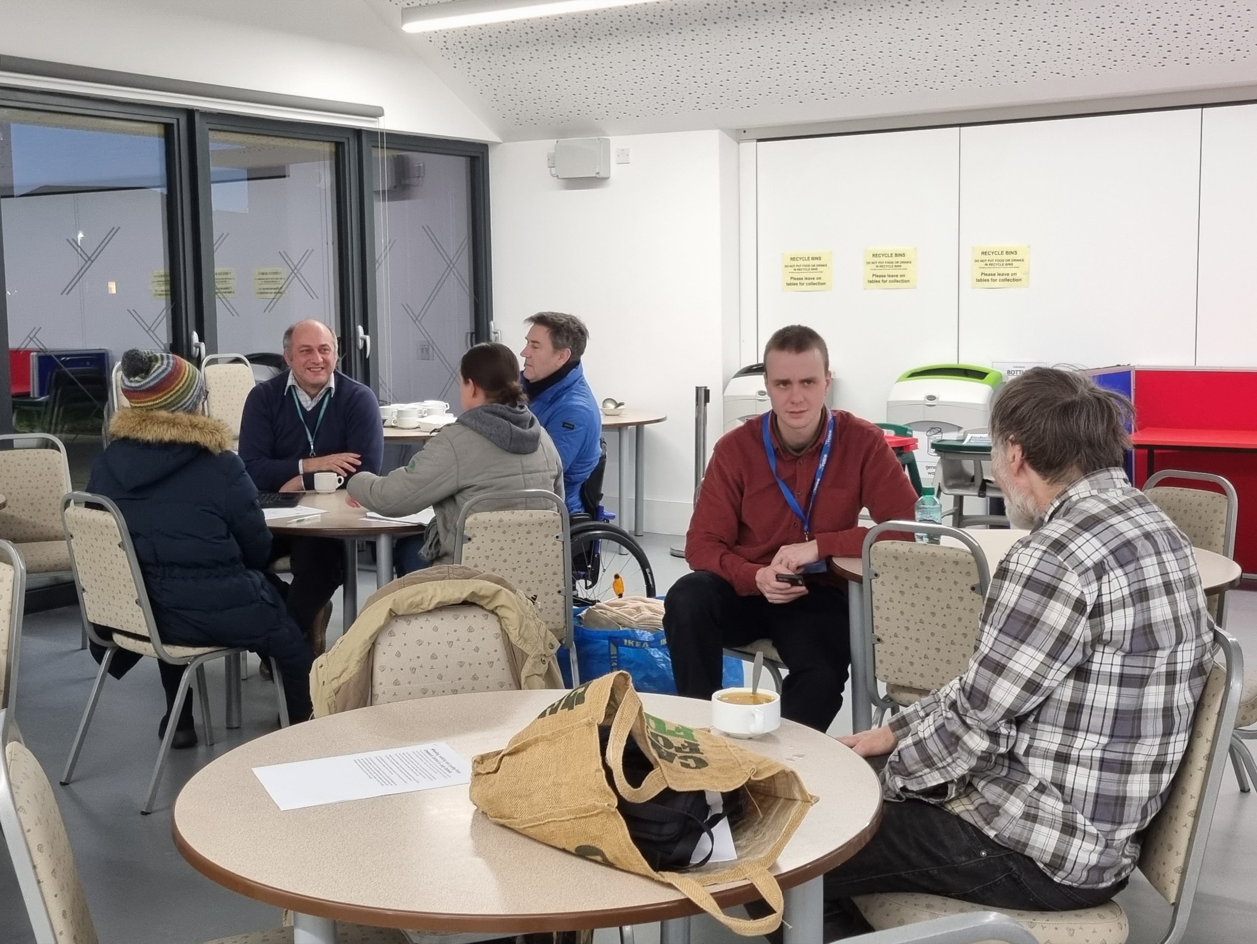
Upcoming Drop-In Events
Drop-in sessions with Kieran from Sustrans have been planned, to gather ideas and issues which attendees may have, answer any questions and explain what changes the planned route would involve, as well as how this may impact and help protected groups.
-
Craigend Resource Centre
Monday 26th June 11am - 2pm
Drop-in Session with Kieran from Sustrans to gather ideas and issues which attendees may have, answer any questions and explain what changes the planned route would involve, as well as how this may impact and help protected groups.
-
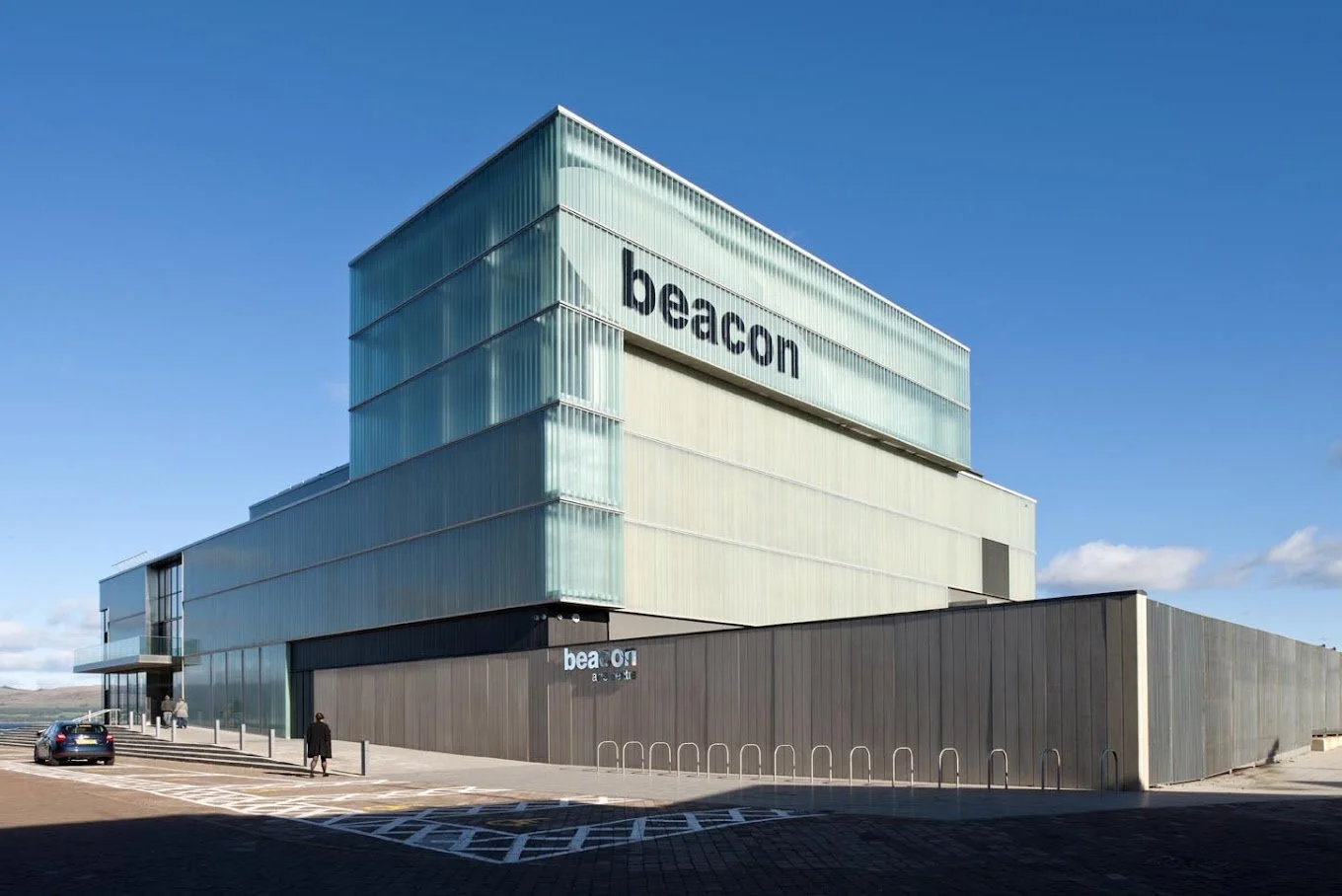
The Beacon Arts Centre
Monday 3rd July 10am - 2pm
Drop-in Session with Kieran from Sustrans to gather ideas and issues which attendees may have, answer any questions and explain what changes the planned route would involve, as well as how this may impact and help protected groups.
-

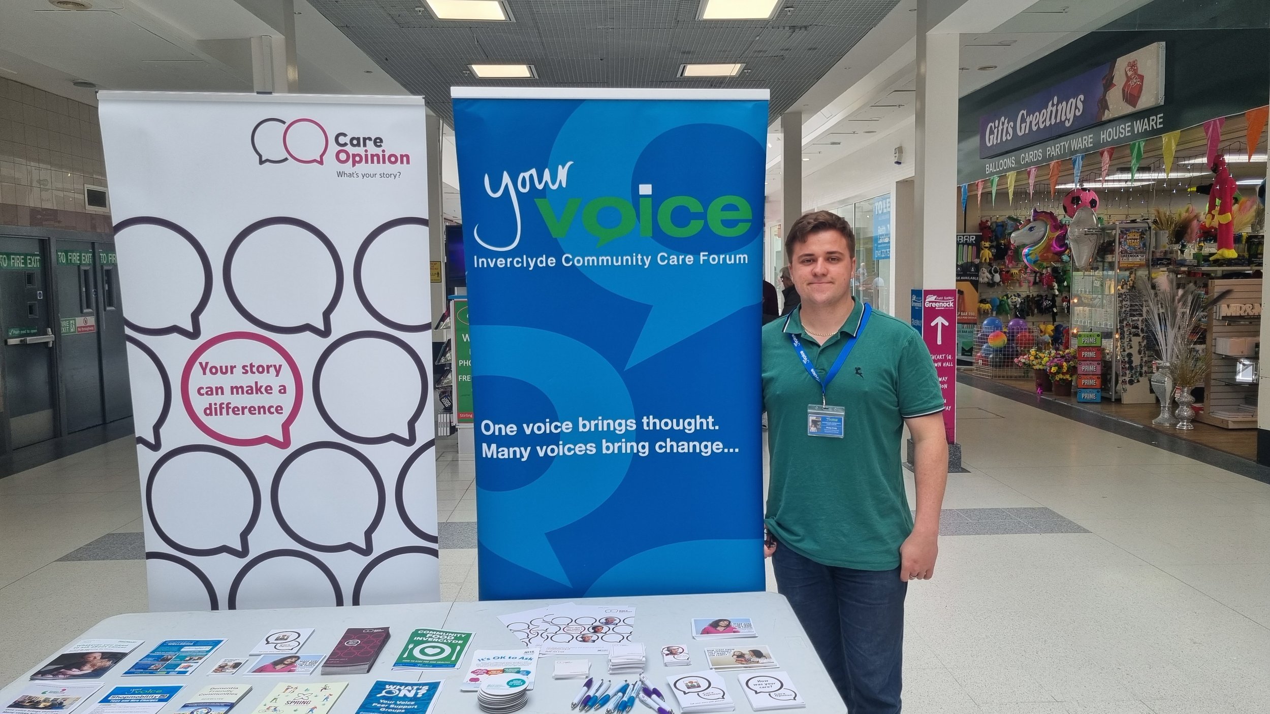
Your Voice
Tuesday 4th July 2pm - 3.30pm
Drop-in Session with Kieran from Sustrans to gather ideas and issues which attendees may have, answer any questions and explain what changes the planned route would involve, as well as how this may impact and help protected groups.
Previous Projects
Central Greenock to Lady Octavia
This project aimed to create new links between East and West Greenock, enabling the community to travel between Lady Octavia Sports Centre and the Centre of Greenock. Lady Octavia (Point A) has a significant residential zone which relies upon personal and public transport to access the shops and community resources in Central Greenock (Point B). The goal of Green Connections is to provide environmentally friendly alternatives, allowing pedestrians, wheelchair users and cyclists to get around safely.
Your feedback was crucial, in order to raise awareness about issues and ideas for how paths and roads can be improved.
A total of 5 possible routes were proposed, as shown on the map. Option 2, along the waterfront was by far the most popular choice. The route was adapted to take on board public opinion, by avoiding the busy streets of Sinclair and Rue End.
A video of the routes can be viewed here
Detailed maps can be viewed here

Central Greenock to Greenock Cut
The Greenock Cut is an aqueduct and hill range, featuring both natural and man made beauty. The area is a very popular walking route and tourist destination, yet can prove difficult to access due to steep inclines and busy roads.
Option 2a was very popular, as it avoided a lot of the busiest roads, steep inclines and pinch points. 2a included plans for a new ramp, connecting the Well Park to Clyde Square. This ramp will greatly improve accessibility between Regent Street and the waterfront, which wheelchair users had to travel extensively to access, due to the steep inclines of Bank Street and the surrounding area.
A video of the routes can be viewed here
Detailed plans can be found here


Got a question?
enquiries@yourvoice.org.uk
01475 728628
51 Hamilton Way, Greenock PA15 1RQ